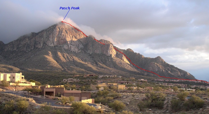
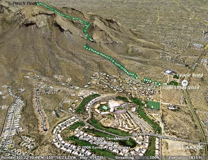
[Red trail line is approximate and for illustration purposes only. For GPS details, see Google Earth image and National Geographic topo map below.]
[Red trail line is approximate and for illustration
purposes only. For GPS details, see Google Earth image and National
Geographic topo map below.]
| Route: |
Begin at the Linda Vista Trailhead (off Oracle Rd). Free parking available.
[For points specified in blue, see topo map below.]
|
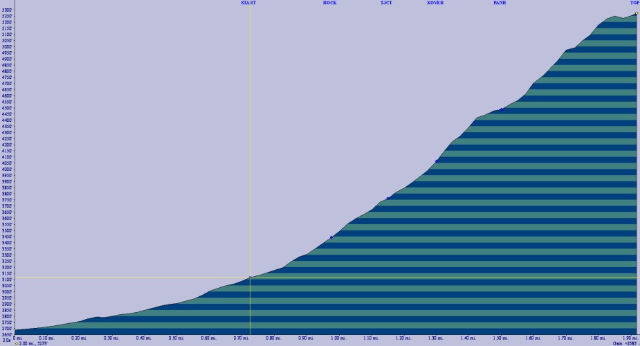
| Distance: | 1.96 miles |
| Climb: |
2700 ft total including Linda Vista trail.
Rises 2200 ft from Pusch Peak trail START to top in 1.23 miles. (Average grade 34%.) |
| Time: |
First time I did it, it took 4 hours round trip including many stops
for photos etc.
2nd time: I knew the route. 3 hours 30 mins. 3rd time: Just under 3 hours. About 85 mins to the top. I think anything under 2 hours 30 mins would indicate decent aerobic fitness and excellent familiarity with the route. |
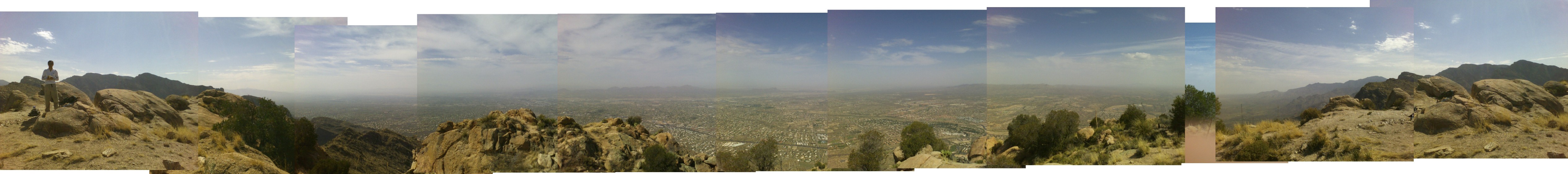
| Highlights: |
(1) USGS marker on top.
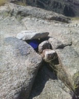
(2) 360° view on top. (See panorama below.) (3) Clear canister wedged near marker: sign your name. |
Click here for a larger view.
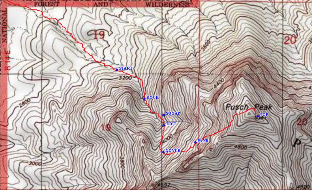
Some images of selected waypoints:
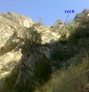
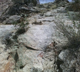
ROCK ahead at (0.99 miles: 3440 ft) |
Close-up view |
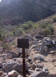
START (0.73 miles, 3120 ft) Metal sign at turnoff from Linda Vista trail |
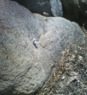
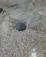
SQGAP (1.15 miles: 3700 ft) Miniature squirrel (now missing) |
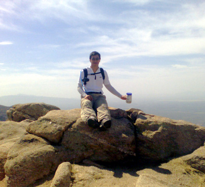
Me at the top sitting on the survey marker |
|
[Click on image for a larger view. Picture courtesy of Emily Wang.]
Sandiway Fong
May 16th 2006
(Updated June 2nd)