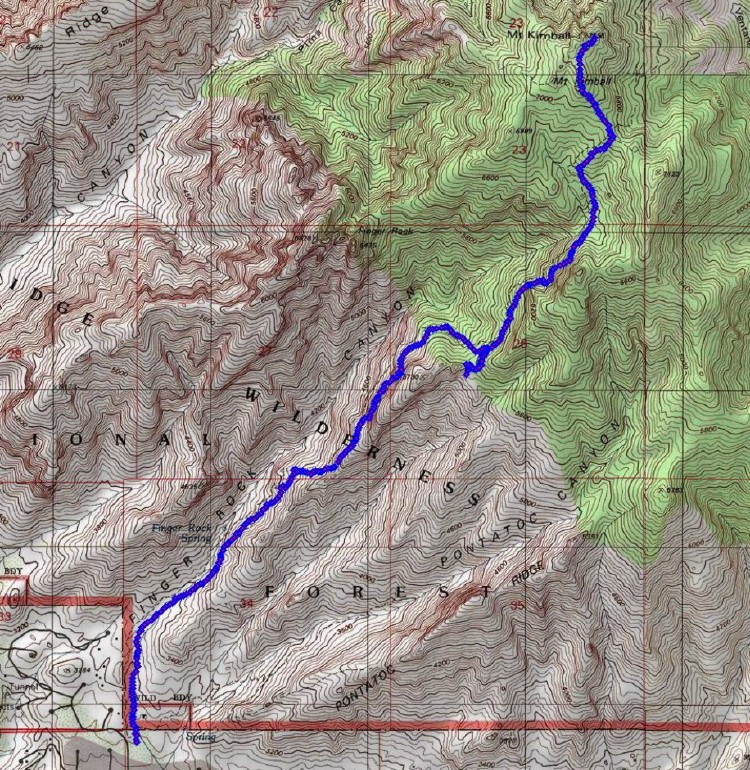
| Route: |
Just north of town. Trailhead has free parking.
Finger Rock Trail to Pima Canyon Trail (signposted) to top of Mount Kimball. |
| Ascent: | 4200 ft |
| Distance: | 4.5 miles (9 miles out and back) |
| Highlights: |
Steep canyon walls in Finger Rock canyon.
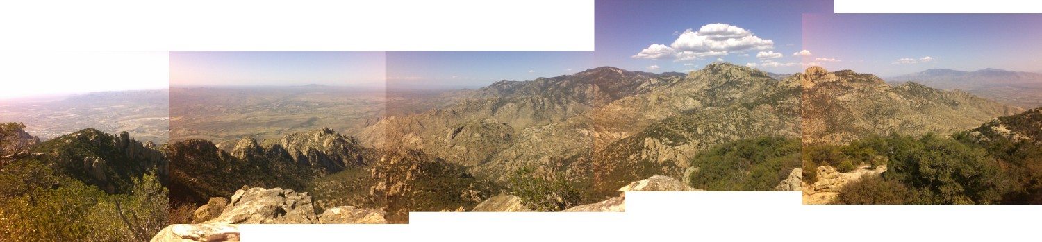
(North) panoramic view at the top of Mount Kimball (7200 ft), see picture. |
Sandiway Fong
May 2006