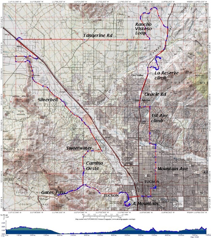
Route shown in red. GPS tracklog waypoints are shown in blue.
Software: National Geographic Topo!
[The pictures below were taken with a relatively poor quality but portable Motorola E815 cellphone camera (1.3MP).]
|
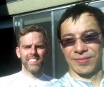
After the ride (Brian Burgess and Sandiway Fong)
Conditions for the ride: 93F Intake: 150 oz of fluid. |
|
|
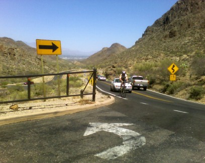
Brian arriving at the top of Gates Pass.
Tucson can be barely discerned way in the background. |
|
|
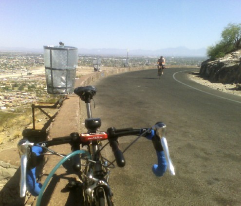
Arriving at the top of A Mountain, aka Sentinel Peak.
My bike is in the foreground. Mounted center are:
The Magellan produced the tracklog shown earlier on the topo map. |
|
|
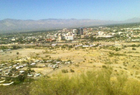
The view.
Tucson downtown in the foregrond. Santa Catalina mountains in the background. (20 miles away.) |
|
|
Brian in front of the painted A at A Mountain.
He's riding a rental Calfee carbon with Dura-Ace 10-speed. |

|
Sandiway Fong
May 8th 2006