|
|
|
|
|
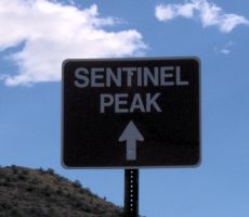
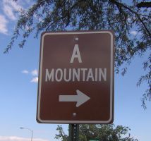
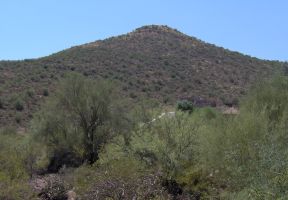
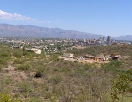
Sentinel Peak, sometimes better known locally as A Mountain (for the "A" that is painted annually by University of Arizona students), is a paved road climb with minimal traffic that is an excellent place for interval training just a few miles from the University of Arizona.
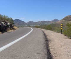
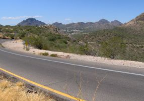
It provides a 1.4 mile (2.25km) long hill, climbing about 410ft (125m). The average grade (rise over run) is 5.6%.This means an 8 minute long climb (interval) for me. The road rises up and loops around the top just below the "A". The actual top of the hill is at 2,887ft (880m). (A description of the route is provided later below.)
The graphs are actually ascents (i.e. interval) number 1 and 5 from the same training session. (The SRM was carefully "zeroed" before each climb. No significant wind or temperature variation (37°C/99°F) was present in either case. The humidity level was low.) Numbers 1 and 5 were graphed because both climbs took exactly 8:00 (min:sec).
[Click on either image to magnify.]
Interval #1
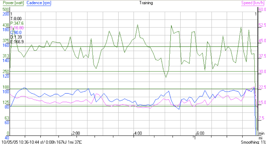
Statistics
|
Interval #5
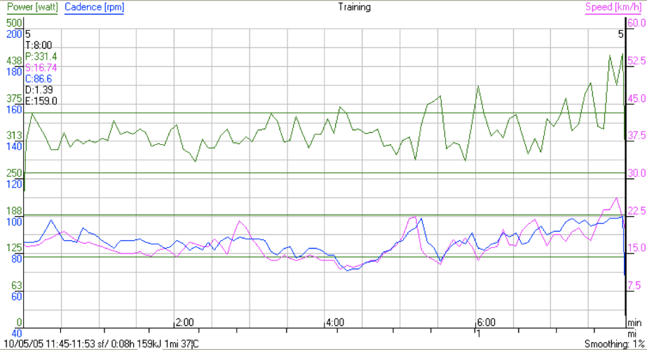
Statistics
|
However, as the graphs show, I tackled the climb differently in each case, resulting in significant variation in power output although both climbs ended up taking exactly the same amount of time - remember, time is the only thing that matters on a climb! The first climb was done at an average of 348W and the 2nd at 331W. In my experience, this is a pretty large difference.
Notice that interval #5 is much less bumpy in terms of power variation during the climb. (Some variation is inevitable as the climb varies slightly in grade.) However, in interval #5, instead of letting the legs push a bit harder whenever I felt the RPE drop, I kept the wattage below a fixed ceiling, and only in the last part of the climb did I remove the constraint entirely. In other words, I did not try to maximize the wattage. The result is the same climb with fewer watts!
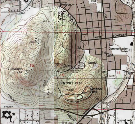
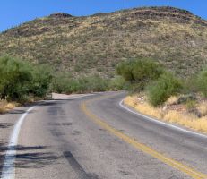
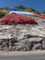
The road is part of Sentinel Peak Park, a Regional Natural Resource Pork operated by the Parks and Recreation Department of the City of Tucson. There are no user fees for the park but it is closed after 8pm. Historically, in the 1700s this peak served as a lookout for the Spanish colonists, but before then (in the 1600s) the Pima lived at the base of the mountain. The "A" was first painted in 1915. None of this matters for interval training! :-)
| Mile 0 |
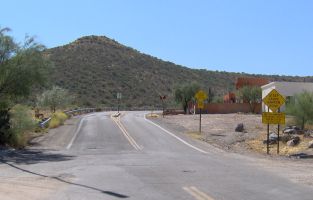
Flat section just before the start of the climb

|
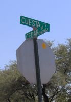
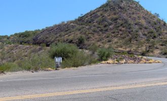
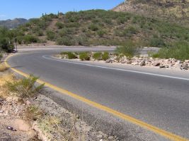
Climb begin at Cuesta and Cedar
|
The start (road curves to the right)
|
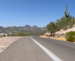
| Mile 0.4 |
Uphill
|
Side (A-Mountain)
|
Looking back downhill

|
| Mile 0.5 |
Uphill (after the curve)
|
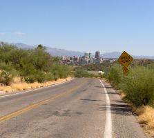
Looking back downhill (downtown Tucson)
|
|
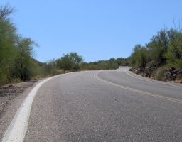
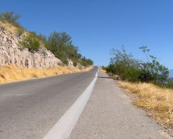
Mile 0.6 140ft |
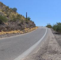
Uphill (road curves to the left)
|
Side (just after the curve)
|
Looking back downhill
|
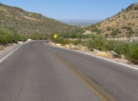
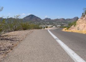
| Mile 0.7 |
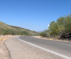
Uphill
|
|
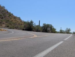
Mile 0.8 290ft |
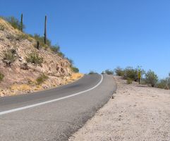
Uphill (road becomes one-way)
|
(To the left is the return loop)
|
Looking back downhill

|
| Mile 0.9 |
Uphill(one-way section)
|
Looking back downhill
|
| Mile 1.0 |
Uphill
|
Looking back downhill
|
| Mile 1.1 |
Uphill
|
Looking back downhill
|
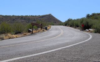
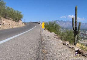
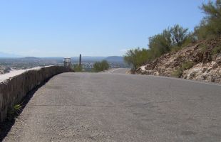
| Mile 1.3 |
Uphill (almost the top, first of the roadside dustbins)
|
Looking back downhill
|
|
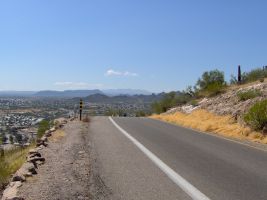
Mile 1.4 410ft |
Nearly the top (finish line at 6th and last dustbin)
|
Looking back downhill
|
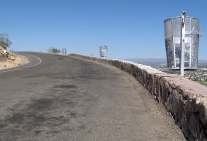
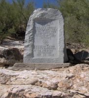
| Mile 1.4 |
Top (Marker)
|
Top (the "A")
|
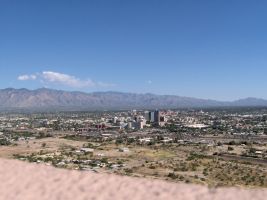
Top (View of Tucson)
|
| Mile 1.5 |
Start of descent
|
| Mile 1.6 |
Right hand curve (goes almost 180°)
|
| Mile 2.2 |
Right hand hairpin (becomes 2 way again)
|
Back down to the start, it's a total of 2.7 miles. There are four speed bumps on the descent before the bottom but after this hairpin. All can be skirted on the right side.
Sandiway Fong
October 6th 2005
Tucson AZ